Sunday, March 11, 2012

On To Oregon, The Promised Land!

Andrew and I have cooled it on the blog-front the past week to give you guys a chance to catch up after those two huge posts. We still have some catching up to do though so here we go.

Did I mention before that we just loved California? Mind you, we stayed east and then north and were successful at avoiding most urban centers and droves of people. From Yosemite we headed to Orland, a town in northern California along Interstate-5 by Chico. In Orland we met up with Luke & Tara, Andrew's Rochester friends who just a few months prior (right around the time we departed Alaska bound for Oregon) made the move cross-country too. Tara accepted the director position at the local Farm Sanctuary, a rescue farm for abused and neglected farm animals. (Click on the link for more info.) Their other friends who had also just moved from upstate New York drove up from the San Francisco Bay area. Pretty crazy to hang out with two other couples recently transplanted from the East Coast!


Shoot, we were impressed with the farm and the gorgeous rolling hills and farmland! Daffodils and hyacinth were blooming in their garden and from their sweet cabin lookout you can see Mt. Lassen and Mt. Shasta in the distance. Spring in February? Oh my, what a shockingly pleasant surprise!

We spent two nights visiting and had a chance to meet some of their farm friends.

Cocoa with a severely injured leg gets a break from a crutch.

Luke & Tara at work... and Andrew thrilled to be behind the wheel of an ATV.
Orland is just about two hours south of Mt. Shasta, and we figure about 4 hours from our spot in Oregon this summer (we'll get to that piece soon!) so we're looking forward to meeting up with these guys over the next few months to explore the richness of the northwest.

Andrew and I were scheduled for an in-person interview at the farm in Oregon in just two days so we sped north and spent a night at the base of the incredible Mt. Shasta enroute. John Muir describes best the exhilaration and awe of first meeting the mountain:

 "When I first caught sight of it over the braided folds of the Sacramento Valley, I was fifty miles away and afoot, alone and weary. Yet all my blood turned to wine, and I have not been weary since."

One of my favorite places,  Mt. Shasta is renowned as a powerful energy vortex and home to the mystical Lemurians who are said to reside in the mountain. Bet you didn't expect me to say all that, did you?
Hey Ash, remember our picnic and fun swim at this location
 south of Shasta 4 years ago?
Filling up on clean, cold mountain spring water, the headwaters
 of the Sacramento River, in Mt. Shasta park.

And so after soaking in the mountain, we were excited to continue our journey towards our final destination- Oregon!! The drive north was beautiful through rolling hills and mountain ranges to the top of snowy (and snowing) Mt. Ashland across the border into Oregon and down to the city of Ashland. It was like we were rolling into the promised land with snow and fog partially obscuring the beautiful views just enough to create a sense of awe. Or maybe the 17,000 miles leading up to this helped build all the anticipation. Ha! Either way, we were not disappointed.

Heading up to Mt. Ashland, just across the Oregon border. Oregon!
Coming down from Mt. Ashland on our way to the small city of Ashland, Oregon.
And so after a fun night in a really nice Ashland hostel and a movie out (the silent film The Artist, which we highly recommend), we woke the next morning a little nervous for our big interview at the farm! The small town of Williams, population 2,500, is about an hour west of Ashland along a country highway that winds through the idyllic Applegate Valley. Low rolling fog lingered into the late morning and so the drive was very dramatic!

Arriving at the farm was incredible. (I thought about passing the narrative off to Andrew for a while because I'm feeling a gush coming on but he'd gush too so forget it!) Most of you know that our tentative plan or perhaps a better word, intention, since planning our departure from Bethel was to make our way to southern Oregon and to work at an interesting farming internship for at least this summer. Of course the ultimate goal for us is to pick up some good knowledge about local climate and growing techniques as well as general homesteading skills so that we can create our own, simple life. Sweet, right? Well without having spent much or really any time in southern Oregon, our desire to live there was a bit theoretical. And that's partially why we checked out lots of other spots on our road trip. We didn't really know what we would find in Oregon, what the communities we had our eye on would actually feel like. Mid-journey we found by searching online this internship that just seemed perfect. So perfect actually, that it's the only one for which we applied.

Anyway, I guess the only way to truly find out whether we want to put down roots somewhere is to live there for a while. But let me tell you, it sure was a good feeling rolling into Williams and the farm. Such beauty! Especially after meeting the other farmers, I think we both had the sense that this area and this particular internship were a beautiful mix of all of the elements we want in our life! Mountains, trees, rivers, sunshine, fertile land, small conscious communities, friendly people and the space along with opportunities to learn and grow.

Our drive to Williams through the Applegate Valley in southern Oregon.
We pretty much spent the day at the farm chatting about our experience and goals, sharing lunch and then getting our hands dirty too. The farm is actually a nonprofit with two head farmers who are married (and have a baby!) and another young couple who recently moved to the farm. We really enjoyed them and our visit overall. After working and getting to know each other in the warm sun for a few hours, they invited us to stay the night at the farm. The tipis weren't erected just yet so we stayed in the guest bedroom in the main, communal house. There's a big kitchen and eating space, a spacious living room with a ping-pong table and an office too. It's a gorgeous strawbale building. In fact, here is a photo, I just couldn't resist!


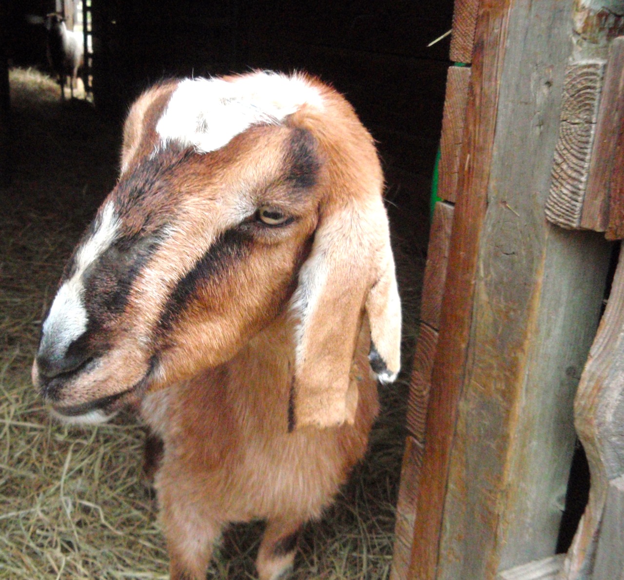
The farm and land felt magical. There's a swimming pond, a cob sauna house, goats, sheep, chickens and turkeys, and an outdoor solar shower! We loved the place and knew with great certainty that this was where we wanted to spend our days this summer! Not just farming, but also working with school kids visiting the farm to learn about the land and sustainable farming practices and working on natural building projects along with various food preservation, animal husbandry and homesteading tasks. The only potential problem was that many, many people applied for the two internship positions. We were initially told that we wouldn't know until March 1st if we got the positions. And so I was preparing myself for a torturous two weeks...

And then to our great surprise, the next morning we were offered the internship positions before we even left the farm! They didn't need to interview anyone else it turns out. They liked us as much as we liked them. Awwwww, YES!! And so we're preparing to make the move to the farm around the first of April; and the internship runs through October 1st. I guess we'll find out if this is the life for us soon enough. (And hopefully in the not-so-distant-future an opportunity for me to study midwifery will open too. I haven't abandoned that goal.)

Since the interview we've been exploring Oregon (hot springs, trees!). Below are a couple maps of southern Oregon for your viewing and referencing pleasure. Williams isn't on the map but it's west of Medford (look southwest along I-5) and south of Grants Pass in the Siskiyou Mountains. It's not too far from the coast as the crow flies but there's a mountain range in the way (the Klamath) so the drive seems to be about 2-3 hours.


The map below is a little easier to read. Williams would be about where the 238 is, south of Grants Pass.

So that about wraps it up. Our next post will include some photos of our Oregon explorations. At the moment we're in Portland enjoying a warm, dry comfy place to be still! We've been renting movies (and will have some good recommendations) and obsessively checking Iditarod race updates the past few days. Go Pete, go Mike, go Aliy!

Missing everyone and especially Ruby, Moxy and little Eddy. Check out their latest photos of the little chunker here on their blog. Til next time folks. :-)


Sunday, February 26, 2012

The Sierra Nevadas of California

Oh yeah, here we go with the second blog post in a week! I'm going to jump right in to continue our photo journey from Death Valley National Park...but first a preview...

Yosemite Valley
So as you know, we're wandering freely with only vague ideas and plans of what we want to do and see. We thought it'd be great to head southwest to Sequoia & Kings Canyon National Parks and then north through Yosemite into northern California. Well we didn't realize that we had to cross the Sierra Nevada mountain range to get to Sequoia & Kings Canyon, in winter. The three southern passes were all closed for the winter. Though understandable, this unfortunate development meant that we would have had to journey south all the way around the mountains and then back up to enter the park from the East. At this point we had already driven 17,000 miles since Anchorage and certainly weren't afraid of a few hundred miles-humph! However, we decided to skip 'em, the biggest factor being our desire to avoid people and population centers. We're allergic.

I was bummed to miss out on the massive groves of ancient Sequoia trees, but it all worked out a-ok. (By now I'm learning to trust that our journey, our lives, will unfold without our control, in the most beautiful- if not always easy- of ways. ) We ended up heading west from Death Valley until we reached the Sierra Nevadas. This mountain range runs 400 miles north-south and 70 miles across (hence the pass closures in winter) in eastern California. Has anyone ever been out here on the eastern side? What a sleeper spot!! Wow! The eastern Sierra Nevada mountains were awesome. We drove north through Owens Valley with the Sierras to our left and the smaller but beautiful White Mountains to our direct right. 

Several of the small towns we drove through- Lone Pine, Bishop- are jumping off points for adventurers and mountain climbers heading for Mt. Whitney at 14,505 feet (the highest in the contiguous U.S.). I guess a lot of old westerns were filmed in Lone Pine- it had that feel of an old western landscape with cattle grazing and lazy rivers- and lots of memorabilia to boot. I wouldn't be upset to end up in this area, that's for sure, particularly the town of Bishop. We didn't get to spend too much time here- just a couple of nights. It was snowy and foggy so unfortunately, our photos couldn't capture the magic we felt.

The eastern Sierra Nevada mountain range near Lone Pine, California.

I found a photo on Wikipedia of the area in the summer to prove how gorgeous this place is, just in case the photos didn't fully convince you...

Little Lakes Valley in the eastern Sierra Nevada,
courtesy of Wikipedia.

Have I talked you into visiting the eastern Sierras yet? If not, it gets better! We ended up rolling through mountains and forests to spend the night at Benton Hot Springs after a vague recommendation. Boy did we hit the jackpot. We were the only ones in this small campground where we rented our own hot springs-fed hot tub. Did I mention it was a beautiful setting and a full moon? It was well worth the hour drive to find this more remote spot that is apparently a local gem. The timing was great because we were a little sore from our backpacking trip in Death Valley just a couple nights earlier- nothing 6 hours of soaking couldn't handle. :-)

Our personal cedar hot tub along a meandering hot river with a sweet fire pit.
Benton Hot Springs
Benton Hot Springs area

Heading out of the hot springs we met back up with the Sierras and headed north to Mono Lake and clear skies.
Mono Lake with the northern Sierras in the background.
Tufa formations at Mono Lake
Apparently the U.S. govt. tested missiles and weapons on the shores
 of this beautiful lake several decades ago. Shocking?

Whew, are you convinced to visit the eastern Sierras yet? I act like I'm getting paid if you go there... hey wait, is there a way I could work that out for some extra cash??

From Mono Lake we crossed the mighty Sierras heading east whereupon we headed south to the entrance of Yosemite National Park (which is in the Sierras, along with Sequoia & Kings Canyon parks too, wow Sierras...) In fact, I think that a map would be helpful at this point in the narrative:

Central-ish California map with national parks
Notice we chose to avoid Vegas (last place I'd ever want to go), L.A. (the allergy again- sorry to miss you Debbie & John) and Joshua Tree National Park (if only for lack of time). Because the Sierras are so tall and snowy in the winter, travel is a bit difficult. The three central parks are all accessible only from the west side in the winter.

Of all the national parks we'd visited, Yosemite was off the charts stunning, just as John Muir noted and Ansel Adams showed. And on that note, I'm passing the computer to Andrew for a bit...

So I must admit that I haven't posted here in quite a bit. Many thanks to Kristy for putting in the effort to keep everyone up to date. Our journey into Yosemite NP was pretty breathtaking. Yosemite valley looks a little like what one might imagine heaven on earth to be like. See for yourself...

We began our stay in the park by visiting a grove of giant sequoia trees. (Turns out there are groves outside of Sequoia NP, though only in eastern California.) Neither Kristy or I had ever seen a sequoia and we were both overly impressed by these giants. In fact, sequoia trees are the largest living things on earth, past or present. Pretty wild!

Here's one pic that gives a slight view of the actual size of these ancient trees
A woodpecker at home in the trees
On top of a fallen giant.
Kristy was so enthralled with this one she actually crawled inside. She thought it would make a good house!
Kristy shot this photo from inside the downed sequoia trunk.
Yosemite valley
We unintentionally followed this bobcat along a popular trail.  Like most of the animals in Yosemite, it had no fear of us. We were approached by coyotes and a raccoon too. Luckily no bears were interested in us, though they do ransack people's cars in the summer for an easy meal.
The famed Half-Dome peak in Yosemite Valley
Berenstein bear treehouse... that limb on the left side has a diameter of 7 feet. Diameter people!
The above tree is in the Mariposa Grove. It's the Grizzly Giant and is estimated to be between 1900 and 2400 years old. It is so huge there's no way to capture the size with a camera! The circumference of the trunk at the base is 92 feet and the diameter 30 feet!
Another Mariposa grove sequoia giant

We spent about four hours touring the grove. Our pictures don't really do the trees justice. They are huge and very inspiring to be around. We saw many 'young' sequoias as well with ages anywhere from 50 to 500 years old. Crazy to think that these trees will continue to grow for another two or three thousand years! 

It was hard to leave the park and the trees, but alas, it was time to get back truckin' on. We came down from the mountain into what seemed like minor chaos - California and I-5. I'm always amazed at how many people can drive 85mph and not get themselves killed on a four-lane highway. Regardless, we were back in the land of people and continued on our way to Oregon. But first we made a brief visit in northern California which will be the subject of our next post. Here's a small preview...


Th-th-th-that's All Folks!!!


Friday, February 24, 2012

A Lot of Catching Up To Do...

Shoooot, it's proving very difficult lately to stay up-to-date with this blog. The thing is, generally we need about 4 hours of uninterrupted internet time plus that much energy to pump out a post. It's the photos that take all the time really. We've been making our way around northern California and Oregon the past couple of weeks. But we still haven't told you about or shown you some gorgeous photos of Death Valley, Yosemite or the Eastern Sierras. Sigh. So that's our goal for this post- get as far as we can...

From the Grand Canyon we headed west into California, no wait, we went south! I almost forgot all about Sedona. Alright, let's sum it. BEAUTIFUL!!

The drive into town even is amazing.
We scrambled up to a vortex on the top of rock mountain.

Can you spot Waldo?

I'm ok letting the photos of Sedona speak for themselves. We spent two nights there, the second of which was alongside a forest service road in the desert. It felt like we were in the middle of nowhere and yet I was able to have a great conversation with my sister huddled around a campfire. Ha!

Ok, so from Sedona we headed west to California!! Woo hoo! Death Valley in the eastern part of the state was our first stop. I wasn't expecting much to be honest. Fortunately, I was very pleasantly surprised.  This was the first stop of an incredible California visit. Death Valley is the hottest, driest, lowest place in the country. And actually, one spot in particular- Badwater Basin- is the lowest spot in North America at 282 feet below sea level. Interestingly, Mt. Whitney, only 84 miles to the northwest is the highest point in the Lower 48 states.

Heading in to California.
Approaching Death Valley National Park.


So we had the craziest experience with this coyote. Naturally when we saw him (or her?) standing along the road we stopped, fully expecting him to run off. Well we sure were surprised when he hung around. So we took a few pictures and then just visited with him. Our visit included Reiki (from a distance folks, relax), chanting and more intimacy than we ever expected from a wild animal. He liked Reiki so much he just laid right on down. Interesting to note that a day or so earlier in Sedona, coyote energy was recommended to me. Since then coyote kept coming up, even in physical form obviously! You know: trickster coyote, laughing at himself and everyone else. In hindsight we realized this guy was probably just accustomed to being fed by passing tourists.


After camping for a night and driving the length of the park- I understand it's the biggest block of wilderness outside of Alaska- we decided to check out the moving rocks. You've heard of these rocks, right? They remain one of the mysteries of the natural world. No one knows for sure how they move, but their tracks clearly indicate that they have in fact moved. (Of course I'm curious if anyone has ever officially tracked them moving over time, even if they've never seen it happening directly.) Anyway, the road to the "Racetrack" with the moving rocks involved a long exploration on a dirt road and a quick stop at Teakettle Junction.  

We were tempted to take one of the kettles- I mean some of them were in pretty
 good condition. Maybe one with a message from Oregon? Nah, didn't want to jinx ourselves.
So the Racetrack is a very flat dried lake bed, a playa they call it. When it rains you're not supposed to walk on it because your footprints can apparently last for years. Death Valley only gets a couple inches of rain a year so I guess you don't have to worry about this very often, though we did see a few footprints... 

Playa close-up
This playa is several miles long and reminded us of the scene in Star Wars Episode I when Anakin races the pod. I think George Lucas might have actually been inspired by this area for that scene. Apparently another part of the movie was filmed in Death Valley... I digress. The moving rocks were wild!! See for yourselves, there were lots of them with long tracks indicating movement in different directions:


Apparently scientists think that when it rains and the surface of the playa becomes slick, the wind is able to slide the rocks along the ground. Pretty unlikely if you ask me, but there's not any other great explanation. Andrew and I think they move as a result of the earth's magnetism. But it's just a guess!  If you notice the photo two up you can see that some of the rocks appear to have slid from the base of a rocky foothill. How could rocks get blown from the base of a hill though- there's no way wind could be at their back??

So after spending some time with the mysterious rocks, we decided to backpack an area just south called Lippincott Pass. Our idea was to check out the road condition to see if we could take a short cut out of the park the following day. You can see below that 4 wheel drive is recommended. (We only have 2 wheel drive so hence the preview.) There are lots of old mining "roads" in Death Valley. Kind of fun to explore I imagine if you have an old off-road 4x4 truck to beat up!


Eh, maybe not a good idea we realized pretty quickly.
Lots of mining in those Death Valley mountains. Copper mineral trace?
Fire man Andrew had organized our brush collections into 9 precise piles. Seriously.
Wow full moon!!! We took this photo through our binoculars!
Cool pokey plant.

Death Valley was designated a National Monument in the 1930s! The area was later expanded and turned into a National Park by President Clinton in the 90s. 

So that's our visit to Death Valley National Park! We both loved it there and wish we could have had some more time to explore the mountains. The landscape was very striking and the mountains had a strong feel. We highly recommend a visit if you have the chance- though with summer temperatures up to 120 degrees you might want to make it a winter vacation. (We enjoyed temperatures ranging from the 30s at night to the high 50s during the day!)

We're heading to Portland this weekend hopefully so we'll try to post again soon to bring y'all up to speed with our travels. Before we sign off though, we'd like to wish a very happy February birthday to: Michele Simmons, Lindsey Tyler, Beth & Matt Davis, and Ashley Newell!! Love you guys. :-)